Coppermines to the reservoir of Levers Water. It's all uphill down here! Excellent paths and not too steep, we made our way up one side of the stream passing one of many Shepherd's Bridge.
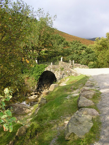
Slag heaps and mine shafts litter the valley...
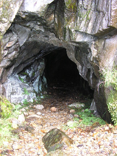
...as well as a well hidden Hydro-electric generator.
With some discussion about the correct path, we eventually reached Levers water, its depth indicated by the blackness of the water.
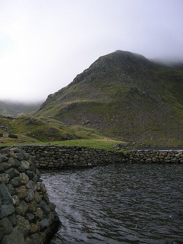
Crossing the 'front' of Levers Water we had to climb a little higher before the walk then descends to join one of the main "Old Man" footpaths, back towards Coniston.
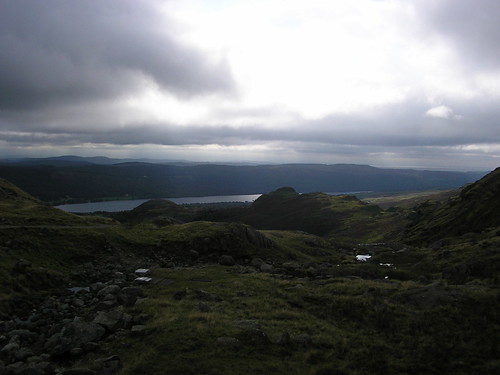
We were now on the opposite side of the stream and passed the slag heaps once more...
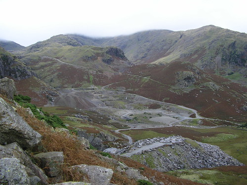
The path we walked up can be seen in the picture above.
In general, an ideal short walk for a morning or afternoon with some splendid views of the surrounding hills.
Blogged with the Flock Browser
No comments:
Post a Comment