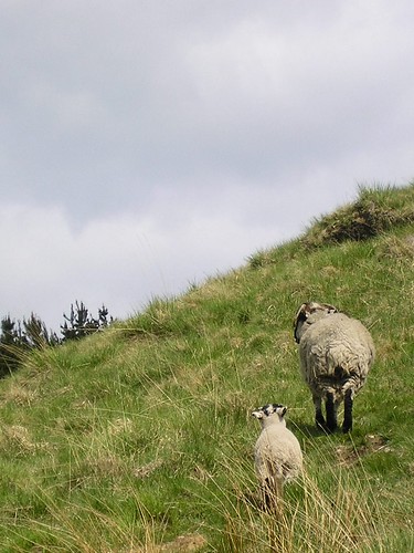
It was then up onto the moors along with many ewes and their lambs...

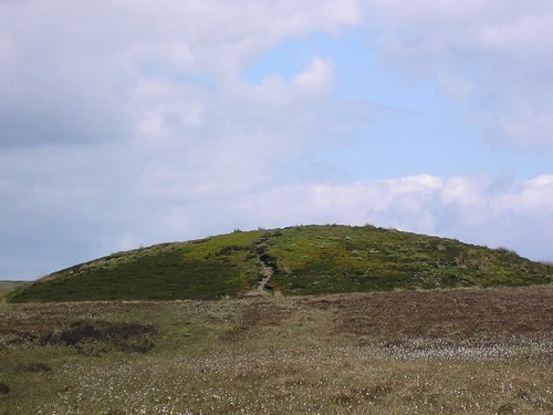
...to find Round Loaf, an ancient burial mound...

Even from a distance this tumulus, with cotton grass sprinkled across the moor, was impressive. As we got closer it was obvious that paths radiated from it (converged to it) in all directions of the compass...

The view from the top of Round Loaf was, on this clear day, spectacular.
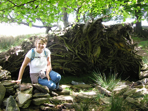
It was the off the moor along Dean Black Brook. One fallen tree's root system, by the look of the remains of man made structures, had obviously been used to provide a bivouac or a sheep shelter...

The path dropped down through some narrow gorges between ridges of moorland...

Local residents seemed determined to eat in the most dangerous of places...

Once down off the moor we arrived at White Coppice, with its cricket field and small reservoirs...

We walked along "The Goit" to arrive at a road near "Waterman's Cottage".
First mistake for some time. The guide said "...look at the waterfall and then continue by crossing the road and entering the woodland, to follow a path along the right shore of Anglezark Reservoir." Silly me I didn't look at the map; what the instructions should have said was keep the reservoir on your right! We went the wrong side! never mind, it only added an extra 1.3 miles to the walk.
We has been promised water fowl on the reservoir but only a few mallard, a grebe and the highlight, Geese and gosling...

All in all, thoroughly enjoyable walk.
Blogged with the Flock Browser
No comments:
Post a Comment