Sunday, October 26, 2008

Goosnargh & Chingle Hall

The name of the village tells us something of its origins, for it is a mix of an Old Scandanavian word 'erg' (a summer pasture) and an Old Irish personal name (Gussan). It is possible that Norse settlers in Ireland later moved here, a theory that has some tentative backing as it is said that the original structure of Chingle Hall included beams from Viking longships.
The hall, built in 1620, is also reputed to be the oldest brick house in Britain. If you look it up on the internet you will discover that with its 16 spirits it is also the most haunted house in Britain.
The village has a speciality dish, Goosnargh cakes, a shortbread with caraway seeds. The walk started at the mediaeval church, St Mary's. The walk also goes along the drive of what was a huge mental institution, Whittingham Hospital, now closed.
The guide, from Walking World, tells us that "The village name is used by Douglas Adams twice in his books: once as a Betelgeusian word used by Ford Prefect 'when he knew that he should say something but he didn't know what it should be' and again in his dictionary 'The meaning of Liff' where a Goosnargh is defined as 'something left over from preparing or eating a meal, which you store in the fridge despite the fact that you know full well that you will never use it'.
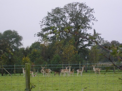
The walk, although very enjoyable, was very boggy in places and there were some electric fences to negotiate. Chris wasn't impressed by the number of fields with cows and 'Bulls'. One of the highlights of the walk was the herd of deer, shown in the picture below...
Deer just before Chingle Hall
You can view our 5.8206 mile walk at http://www.gmap-pedometer.com/?r=2335362.
Blogged with the Flock Browser

Kingsley - Bradley Orchard - River Weaver - Kingsley

Leaving Kingsley village, we soon emerged into a countryside of fields and narrow, wooded valleys. The steep-sided valleys are known as 'cloughs' in this area of Cheshire. The fruits and seeds add colour to the walk and providing rich pickings for the birds (We were lucky to see a lesser spotted wood pecker). Eventually our route passed along the top of a gentle slope running down to the river. From this terrace edge there were views downstream towards the Mersey and upstream towards the Pennines. There were occasional glimpses of the factories towards Runcorn. Leaving the terrace for the riverside, we crossed water meadows.
Water meadows
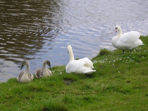
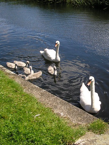
Beside the river there were swans,
Weaver Swans
geese, ducks, moorhens and coots. The riverside path ran though relatively undisturbed woods that provide good cover for small animals; eventually the route left the river valley with new views opening up towards the Sandstone Ridge to the west.
The area was extremely peaceful and the guide, from Walking World excellent (What a contrast from the previous week.
 You can view our 6.1324 mile walk at http://www.gmap-pedometer.com/?r=2335303.
Blogged with the Flock Browser

And it all started so well...

Readers of my blog will know that I'm less than happy with Ron Freethy's Riverside Rambles along the Mersey as either the maps and/or the directions have been found to be lacking. However, having paid £8.95 for the book, I'm reluctant to bin it! So what did we do? We tried another walk. Foolish, as we discovered.
The walk (Walk 15: Moses Gate - Three Waters and two parks) is excellent but the map and directions have little relation to the 'real-world'; perhaps it's a Second-life walk?
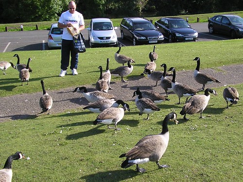
Moses Gate with the large flocks of geese...
Moses Gate Geese
...was a very pleasant start and, as you can see from the photograph, the sunshine was an added bonus. Thank goodness I'd brought a map with me. The Country Park consists of 750 acres of "Urban Countryside", unfortunately the Warden Service and Information Service, located in Rock Hall was closed! Useful on what is probably one to the two busiest days (the weekend!) Note the map in the book, places the start of the walk in totally the wrong place! Take a look at the 6.594 mile walk at http://www.gmap-pedometer.com/?r=2335240. I wont go into great detail about the inaccuracies of the guide but we walked nearer 9 miles and residents, when asked for assistance couldn't help us. The map I've provided is the walk and not our wanderings!
Walking along the Old Line of the Manchester, Bury & Bolton Canal, once we found it, was a pleasure and Ringley Church with the Packhorse bridge, dating from 1677, opposite was impressive.
Ringley Church
The walk so far had been reasonable with only two detours which I had sorted using my map and a compass.
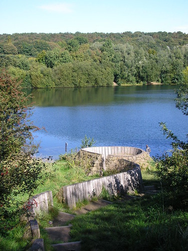
Finding Clifton Country Park and Clifton Bridge were another matter; to be fair, there was alot of building going on and the signs may have been removed but we tried several routes and asked 'locals' with no success. However we did eventually find both. Below is a photograph of Clifton Lake...
Clifton Lake
...dug in the 1960's during the extraction of gravel to build the M62 motorway.
The stone 'sculpture' in the foreground is called Lookout and is by Tim Norris (2001)
We found the Visitor Centre and had a well deserved drink and cake! It was going to be straight forward now surely?
Thank goodness for a good sense of direction, as locals wanted us to go back across the river if we were to "pass the Stoneclough Trading Estate". Instinct helped us find our way back and, on reflection, my bloddy minded determination to complete the walk and a good sense of direction enabled us to succeed.
The question is, do we try another walk from this book?
Blogged with the Flock Browser

Last walk in the Lakes (Monday)

4.3124 miles on Monday morning; you can follow our walk at http://www.gmap-pedometer.com/?r=2332882.
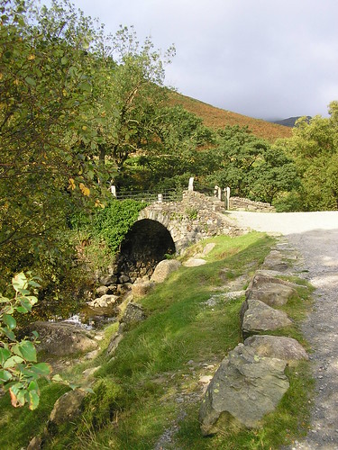
Coppermines to the reservoir of Levers Water. It's all uphill down here! Excellent paths and not too steep, we made our way up one side of the stream passing one of many Shepherd's Bridge.
Shepherd's Bridge
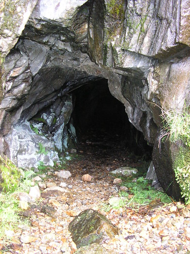
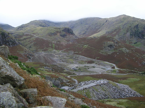
Slag heaps and mine shafts litter the valley...
Mine Shaft
...as well as a well hidden Hydro-electric generator.
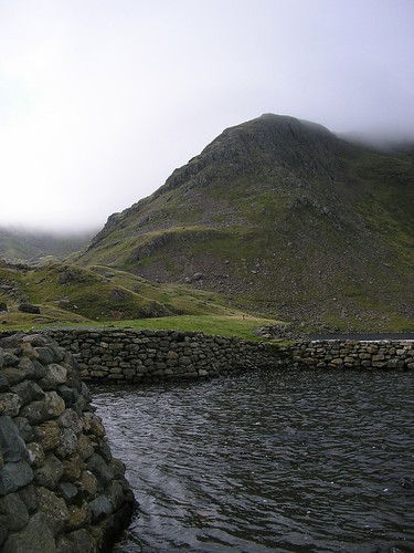
With some discussion about the correct path, we eventually reached Levers water, its depth indicated by the blackness of the water.
Levers Water
Crossing the 'front' of Levers Water we had to climb a little higher before the walk then descends to join one of the main "Old Man" footpaths, back towards Coniston.
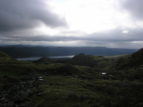
View from the top
We were now on the opposite side of the stream and passed the slag heaps once more...
Slag heaps
The path we walked up can be seen in the picture above.
In general, an ideal short walk for a morning or afternoon with some splendid views of the surrounding hills.
Blogged with the Flock Browser

Sunday in the Lakes

Still catching up; on the Sunday it was Walk 6 from the same book as the last walk. The map can be seen at http://www.gmap-pedometer.com/?r=2332839. 7.5463 miles from the hotel and back, via Tarn Hows, with a short detour via a National Trust Walled Garden!
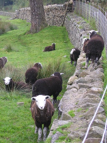
The walk through woodland, running parallel to the main road, was very pleasant with a noticeable presence of water, Herdwick sheep were seen throughout the walk with some experimenting with wall climbing...
Herdwick Sheep
Along the footpath towards Skelwith Bridge & Yew Tree Farm, we eventually reached Tarn Hows via Tom Gill Waterfall.
The reflections on the Tarn were impressive and again the fine weather and clear skys added to our enjoyment...
Tarn Hows from the North end
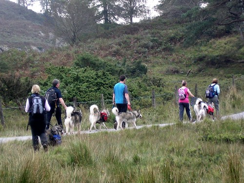
During our break, Husky walkers passed us...
Husky Walkers
Do you like their backpacks?
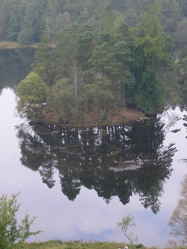
Leaving the Tarn we headed up to higher ground with even mpre impressive views of the reflections...
More reflections
We then spent some time walking through woodland following a stream as it headed towards Coniston Water. The detour to view the walled garden was well worth the extra distance; the photographic journal was impressive, showing just what can be achieved with volunteers.
Back on the walk we headed up hill and through more woodlands before decending to Coniston, briefly joining the Cumbrian Way.
A welcome pint at the Black Bull Inn, a 400 year old coaching inn, which has its own micro brewery on-site, was a welcome end to another enjoyable walk...
Black Bull Pint
Blogged with the Flock Browser

Walking in the Lakes

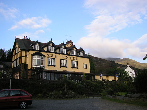
Time for a catch up! Walking hasn't been a problem but writing up the walks has. Chris and I took a long weekend in the lakes and walked on the Saturday, Sunday and Monday morning. Our base was, as can be seen from the photograph below, the Sun Hotel in Coniston.
Sun Hotel Coniston
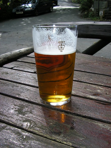
A 16th Century inn situated on the Walna Scar Road leading to Coniston Old Man. With its exposed beams, flagstone floors and welcoming old range in the fireplace we can honestly say we enjoyed our brief stay. I enjoyed the Coniston Bluebird among many other local and guest ales...
Coniston Bluebird
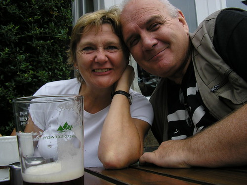
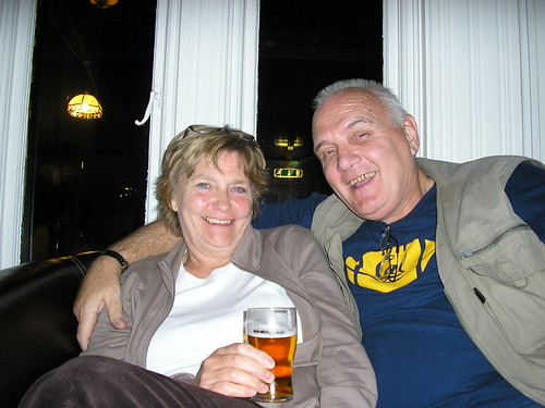
To be fair, so did Chris...
Sun Hotel Guest Lounge
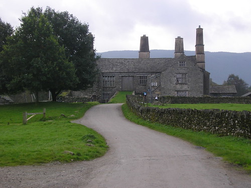
Our first walk, on Saturday, can be viewed at http://www.gmap-pedometer.com/?r=2332762. The guide we used was "Good walk, Good Pub - South Lakes" by Meg Brady. If you decide to purchase it, and I would suggest it's a good buy, the walk is on page 57 and is Walk 5. The only difference was we started and ended at the hotel. The walk along the lakeside was in sunshine and was enjoyable; Coniston Hall, with its grass slope up to the 1st floor and huge chimneys, is impressive and even more so from the water (we had a ferry ride later that day).
Coniston Hall

Apparently chimneys were a status symbol.
A gentle climb through woods, Torver Common, brought home to us the beginnings of Autumn (Fall) with the first signs of leaf changing and fungi showing itself along the way.
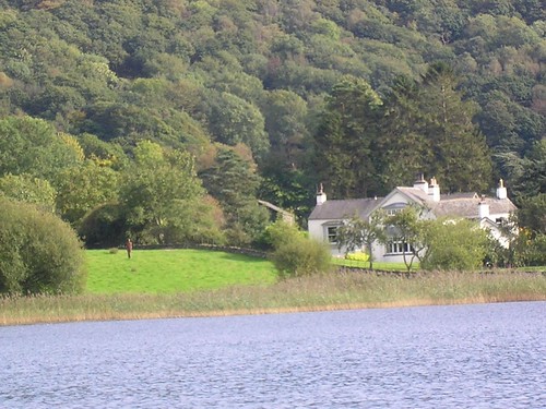
We stopped for a snack and a drink, part way up the bridleway to Walna Scar, with fine views across Coniston Water.
Snack Break
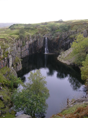
Beyond the climbing hut/cottage, we passed through slate/slag heaps and on to a quite spectacular waterfall into a disused quarry...
Waterfall into the remains of a quarry

Onwards and upwards we eventually joined the wide rocky track of the Walna Scar Road and returned to the hotel. The 6.7021mile walk was, apart from the decent back to the hotel, very enjoyable with fine views and varying scenery.
Later that day we took a ferry ride on Coniston Water which, if you visit the area, is well worth the effort. The commentary was informative, Donal Campbell, water speed records, Swallows and Amazons, Films etc. We also saw one of Anthony Gormley's statues, far from the rest that are on Crosby Beach in Sefton. Apparently it was a gift to a friend who lived at the end of Coniston Water. Can you see it on the lawn?
Anthony Gormley Statue
Blogged with the Flock Browser

Sunday, September 14, 2008

The Bridgewater and Norton Priory

The URL for todays route is: http://www.gmap-pedometer.com/?r=2261444 - 5.6 miles in total.
Same guide Riverside Rambles along the Mersey by Ron Freethy; difference is, this time I used http://wheresthepath.googlepages.com/exploreabiggermap.htm, a must for walkers, to map out the walk before we left home.
Whatever you do, if you buy this book, don't depend on either the text or the map; from what I've experienced so far either one or the other is correct but not at the same time!
This time the map is wrong on the return leg; you need to leave the towpath at Norton Town Bridge not Norton Bridge! Be warned.
Armed with map and guide we set off from the opposite side of the canal to a boatyard; it wasn't Preston Brook Marina, as stated in the guide, but was the correct place to start on the map and in the text. Just totally the wrong name!
We made our way towards Norton Priory along the Runcorn arm of the Bridgewater canal.
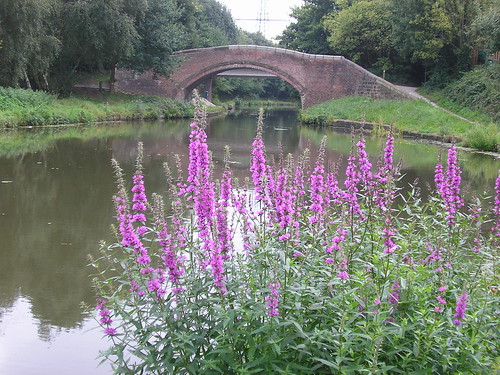
The fruit laden hedgerows (apples of various types but mainly crab apples, hawthorn berries, elderberries, etc.) and wildflowers were in abundance including the Purple Loosestrife shown below.
Purple Loosestrife
Little did we know, as squirrels, moorhens, ducks, jays, magpies etc. crossed our path, of what lay in store for us as we neared Norton Priory.
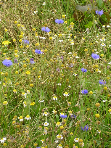
Cornfield Wildflower Meadow
I thought I'd gone back to my childhood; here we had a wildflower meadow reintroducing 'cornfield flowers' such as corncockle, corn marigold, corn chamomile and poppy. When I was a boy.... Mmmm memories. What a pity the flowers were past their best, although the bees didn't think so!
The Priory wasn't open, we were a tad to-early, but the cafe was; tea and cherry scone for Chris and coffee and choc-chip muffin for me.
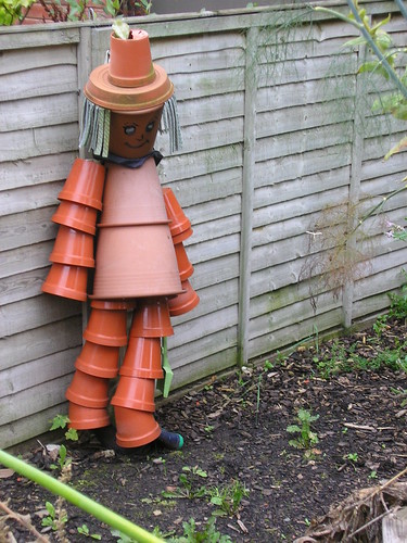
The Residents were a little shy...
Flowerpot person
The last time we visited was with Ben and Neil when they were both at Summerhill; many changes and perhaps a place to visit when it is too wet to walk.
We retraced our steps leaving the canal at the correct place and heading across fields, under two railway bridges and up onto the Manchester arm of the Bridgewater canal.
There was evidence of early growth of fungi probably due to the very wet summer or should that be 'global warming'?
Early Fungi
Farmers are still trying to gather the harvest and two 'Holland' Combine harvesters were hard at it.
Another enjoyable walk and a note to revisit Norton Priory in the not too distant future.
Blogged with the Flock Browser

The Mersey At Warrington

Our walk last week can be viewed at http://www.gmap-pedometer.com/?r=2261142. 6.6 miles in total. It was the first walk from a book I'd purchased when the car was in for its 80k service; Riverside Rambles along the Mersey by Ron Freethy.
It's a good job the walk was enjoyable because the guide wasn't! I think is was one of the least helpful books I've ever tried to use and the first one that I had difficulty in fathoming where I was, let alone where I had to go.
Enough of moaning - we started at Paddington Bank (which was some way from the A50/A57 Junction it was supposed to be next to) and, once I'd convinced Chris which way was upstream, we headed off towards Manchester. We were soon in open countryside disturbed only by the noise of oars as various crews made there way downstream. I'm not convinced we saw the long disused navigation known as the Woolston Old Cut; it had been important before the opening of the Manchester Ship Canal in 1894.
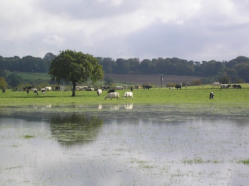
Water meadows, beside the Mersey, had cattle grazing in what had turned out to be a nice day.
Cattle grazing on the water meadows.
The guide rambles on about the Black Bear Canal which I later discovered was near the end of the walk; God only knows why it was added as the second part of the walk;
You will see from the map that we took a detour and had to retrace our steps; we also missed Grey Mist Pond as there was no indication of when we left the bank of the Mersey. (Remined to myself - plot the walk on the map before leaving home! Grrrrrrrrr!
There was no mention of the canal we walked along and, when we reached Woolston new and old weirs having turned right it wasn't anywhere near where the guide suggested. Any remnants of the gunpowder works seem to have long gone.
Apparently we had to desend to the Manchester Ship Canal, which was several feet above us, and follow the obvious route parallel to the village of Thelwall. I think it is called a towpath! Ron Freethy is, apparently a journalist, his guide has confirmed that you can't believe anything written be a Journalist :-)
Thelwall means a "pool by a plank bridge"
We left the Manchester Ship Canal at Latchford Locks making our way back to the car. We crossed the Mersey once again, on the A50 and I was particularly taken by the lighting on the bridge...
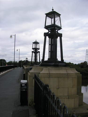
Lighting on A50 Bridge over River Mersey
Now I could see the Black Bear Canal that Ron had gone on about at the beginning of the walk; it comes to all who wait! Apparently it was named after an existing pub (much to the disappointment of Chris).
The final stretch was along the river again, upstream, and alongside some impressive allotments.
In general a very enjoyable walk, in spite of the poor guide used.
Blogged with the Flock Browser

Sunday, August 10, 2008

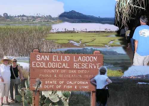
San Elijo Lagoon

Just a short 5 a.m walk which can be viewed at http://www.gmap-pedometer.com/?r=2158398. The total distance was 3.4881miles.
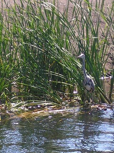
Starting at El Camino Real road, the idea was to see the sun rise; it didn't as the sky was cloudy! Well it did but we couldn't see it! To spot deer, we didn't, and other wildlife. We saw some ducks, a heron and two rabbits!
Greg said, " I've learned something from this walk; there is no benefit from getting up to start at 5 am!"
Images from our two walks
That said, it was nice to walk in the relative cool of early morning and the breakfast, at the end of North Acacia Avenue, at the end was far more enjoyable because we had walked.
PS we actually walked further than the map indicates as someone couldn't find the cafe! I wont say who Kathleen. It was called the Hideaway. We had a taste of cactus cooked in an omelette.
Blogged with the Flock Browser

Monday, July 21, 2008

Local Walk and Tall Ships

Our walk this week was from the "Running Horses" in Lydiate, Merseyside, along the Leeds and Liverpool Canal, to Jackson's Bridge, and cross country to return via the Old Cheshire Lines Railway.
In total 5.2257 miles. You can view the route taken at http://www.gmap-pedometer.com/?r=2099891.
No photographs of the walk this week but still a walk both Chris and I enjoyed. There are a number of places visitors to the area may wish to visit including the ruins of Lydiate Hall (built in the early 16th Century by the Ireland Family who held the Lordship), St Catherine's Chapel (Ruin of a private chapel for the Ireland Family), and the Scotch Piper Inn (Reputed to be the oldest pub in Lancashire and to date from 1320). The church on the corner of Hall Lane is the church of St Mary, built in 1854 by Thomas Blundell. An ancient sandstone cross stands in the churchyard.
The Cheshire Lines path forms part of the Trans-Pennine Trail and also a European Route to Istanbul. I'll give that one a miss; just a bit too far!
The shock of the walk was finding the Running Horses was closed and up for sale; bang goes our plan to park-walk-return-pint and a meal!
Not put off we decided to go to Liverpool as the 'Tall Ships' were visiting the Capital of culture.
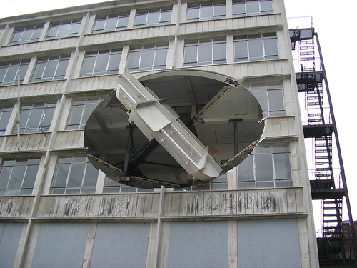
We were rewarded with fine views of the ships, from the train, as we passed through Sandhills Station. W e left Moorfields station to walk down to the docks and WOW! There was Richard Wilson's - Turning the Place Over
Sculpture by Richard Wilson
Turning the Place Over is an incredible piece of public art and a brilliant feat of technical engineering. It seems apt that it should be in the Port of Liverpool as the whole thing is made possible by a specially designed giant rotator, the kind usually used in the shipping and nuclear industries.
Richard Wilson is internationally celebrated for his interventions in architectural space that "draw heavily for their inspiration from the worlds of engineering and construction.
It runs in daylight hours during the summer months and from 7am to 7pm during the winter.
I've put a video of the artwork on YouTube which you can watch at http://www.youtube.com/v/YIOuLThXG-g. Impressive!
As on 20th July 2008
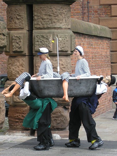
We were amazed at the number of people down at the docks; the picture above is an autostitch of three images. It was very well controlled and the crowds were entertained by stilt walkers, in various guises...
Bath Time!
and others in fancy dress.
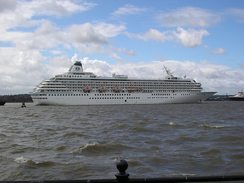
The cruise ship, Crystal Symphony, in the middle of the Mersey was equally as impressive, and far easier to get to see.
Crystal Symphony
An enjoyable day including a trip on the train. What more could I ask for!

Blogged with the Flock Browser

Sunday, July 13, 2008

Rimrose Valley Revisited

I'm not sure how long it has been since we walked through the valley park but it has matured considerably. The valley was always subject to flooding; in the 20th century it has been used for tipping, allotments and playing fields and it is only in recent times that Sefton MBC began its transformation. Larger areas, in particular the southern end, feel really natural and its success as a nature reserve is undoubted - even water rail has been heard here. The walk is very flat and took us around the fringes of the park, with occasional detours along boardwalks into the reedbeds.
Home to many...
It is known that reed warbler, whitethroat, reed bunting and sedge warbler have bred here; fleeting sightings and constant bird song provided visual and audible evidence.
The final stretch of the walk took us along the Leeds Liverpool Canal from Buckley Corner towards Seaforth; here we saw lost of fish, including a small (6" long) pike, coots, moorhens, swans...
5 ugly ducklings
...a heron...
Hunting for a meal perhaps...
and, unusual for this stretch of canal, a narrowboat!
Heading towards Bootle
I'm sure that once the link through to the Albert Dock is completed, this will become a regular sight again. How nice!
As you can see by the pictures we had fine weather! Sorry I tried not to mention it but, like the walk, it was very nice! You can view the 5.0493mile route of this walk at http://www.gmap-pedometer.com/?r=2073667.Home to many...

Blogged with the Flock Browser

Sunday, July 06, 2008

MOSI Visit

Too wet to go walking today so Chis and I went to MOSI (Manchester's Museum of Science & Industry) to look at 'Body Worlds 4: The original exhibition of Real Human Bodies".
As stated on their website, "BODY WORLDS 4 offers MOSI exhibition visitors an unprecedented encounter with the human body in its post mortal state!"
guitarrist
It was indeed a unique exhibition by the creator of the world's first anatomical exhibitions, Dr Gunther von Hagens, BODY WORLDS 4 is stunning.
We were presented with over 200 authentic specimens, including both diseased and healthy organs and whole body specimens that have undergone Plastination - Dr von Hagens' groundbreaking method of halting decomposition and preserving the body after death for medical study.
Plastination is the process of extracting all bodily fluids and soluble fat from specimens and replacing them with vacuum forced impregnation with reactive resins and elastometers, such as rubber, silicon and epoxy. The specimen is then cured with light, heat or certain gases, which give it rigidity and permanence.
Football gets everywhere

Sadly, but understandable, photography and filming is not allowed in the BODY WORLDS 4 exhibition. These images are linked to MOSI's Website and when they update the website will no longer be visible.
There is a charge for entry and, if you want to get the most from a visit, for the Audio Guide (The audio guide, I would go so far as to say, is essential). Specimens on display are assigned a number and have corresponding audio narratives that can be accessed at random. The guide features information on the function and composition of human anatomy, and gives background on diseases and their effects on the body.
A thoroughly enjoyable visit, educational, informative and thought-provoking. By its very nature there are displays of bodies and organs and this should be considered if as parents you are thinking about bringing young children to the exhibition.
We are off to see Paul Simon tonight at the new Liverpool Arena; what a great day this is turning out to be!
Blogged with the Flock Browser

Neston

Our walk last week, yes I know this is late, started and ended at Ness Gardens; built by Liverpool cotton-broker Arthur Bulley on a sandstone outcrop above the River Dee.
His great desire was to bring new plant species into Britain, especially from the Alps and Himalayas. The result is well worth a visit; sadly we were too wet even to enjoy a snack in the cafe; not because of rain but from pushing through overgrown paths through plants that were very wet indeed.
The initial views are of the River Dee with a backdrop of the Clwydian Hills  of North Wales. The highest visible point being that of Moel Famau. I alway enjoy walking the banks of the Dee and this was no exception. Chris and I both noted that the number of Egrets has increased considerably. The Harp Inn was tempting but was closed; I'm sure I've said this before but we should make an effort to visit some day.
We left the River Dee behind as we headed inland at the Old Quay; all that remains of the 16th century port that flourished here, now completely landlocked. It is hard to think that in the mid-16th century the water here was deep, providing a safe anchorage.
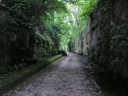
Our return journey took us back along the Wirral Way. The trackbed along this section, through Neston, is flanked on the left-hand side by high sandstone walls carved from bedrock and showing the groves made by railway engineers as they cut through the rock.
Through Neston
Note I'm looking back from where we joined this section. On the right, a lower wall and small sandstone cliffs are festooned with mosses, lichens and ferns that favour this kind of sheltered, moist environment.
Yet another pleasant walk on the Wirral spoiled only by very wet legs caused by dense bracken on the final old, double hedged footpaths that you find all over this part of Merseyside. In total a walk of 5.9371 miles. You can follow our route at http://www.gmap-pedometer.com/?r=2051155.
Blogged with the Flock Browser

Sunday, June 22, 2008

High Winds and abrasive sand

On reflection our blog is turning into a collection of weather reports rather than a blog about our walks. However the forecast wasn't good and equiped with waterproofs we set off to Ainsdale where this weeks walk began.
For once the start wasn't even near a pub! We had decided to walk part of the Sefton Coastal Path going from Ainsdale towards Formby and the 'Fisherman's Path'. I decided, in view of the high winds, to walk back along the beach with the wind behind us. Oh how pleased we both were.
The start of the walk took us alonside the Liverpool-Southport Merseyrail line before cutting through the Merseyside Forest (Red Squirrel country; sadly we didn't see any. In fact we saw very little in the way of wildlife). The woodland protected us from the worst of the wind but the thuds of pine-cones hitting the ground made us think that hard-hats would have been a good idea.
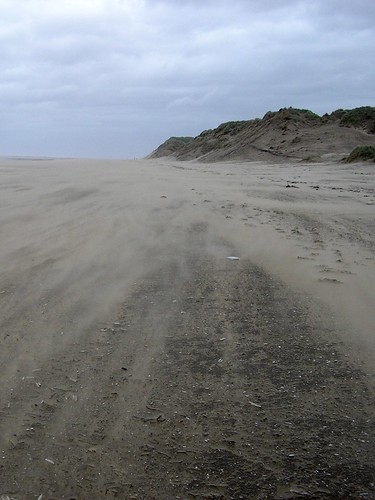
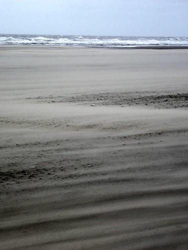
Once on the beach the full force of the wind was felt. As already stated, we were so pleased the wind was at our backs. As can be seen, the moving sand looked almost like smoke hugging the ground.
Sandstorm
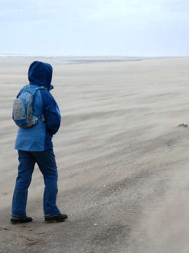
Thank goodness for long trousers!
Dressed for high winds
Large container vessels struggled out of the Port of Liverpool, through the white horses, into Liverpool Bay and the Irish Sea; and yet on the beach little shells and other objects protected sand from erosion.
White Horses and Liverpool Bay
We made good time with the wind hastening our progress; both of us surprised that we had walked 7.2856 miles. If you want to walk in our footsteps the map of our route can be found at http://www.gmap-pedometer.com/?r=2010693;
PS Check which way the wind is blowing before you decide which way round you complete the walk!
Blogged with the Flock Browser

Saturday, June 21, 2008

Cheshire's Castle Country

We seem to be revisiting parts of the Sandstone trail, that  Chris and I did four years ago, on a regular basis over the  last few weeks. However the motive this week was that we were off to see K.T. Tunstall in Delamere Forest later that evening.
What castles am I talking about, well Beeston Castle (built in the 13th century), and Peckforton Castle (a 19th Century imitation of a medieval fortress). Beeston wasn't involved in an real action until the English Civil War and was largely demolished in 1646 on Parliament's orders (poor winners who need to destroy something because it belonged to the loosers!)
There were evidence of other layers of history found on the walk; Coppermines lane, a reminder of an industrial element complete with a lone chimney marking the site of the old copper works.
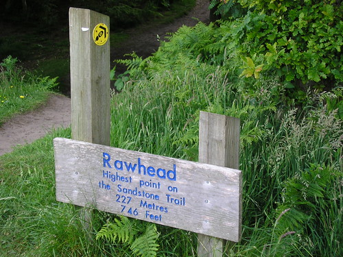
The steep slope of Rawhead Hill,
Highest point on walk
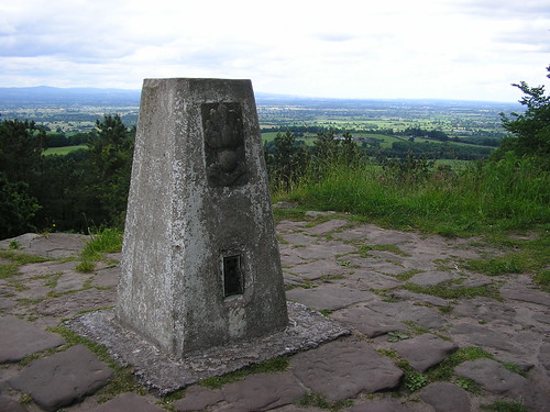
took us to the highest part of the Sandstone Trail

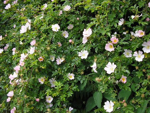
and on to the impressive crags at Musket's Hole. The walk provided some great views but never a 360 degree panorama; fine vistas appear fleetingly which added interest to the walk. Woods, fields and quiet lanes, with dog roses
Past their best...
all adding to the overall enjoyment.
The National Trust-owned Bulkeley Hill Wood was a high point of the walk with a wide range of deciduous trees, including sweet chestnuts, with very little undergrowth on a broad shelf rimmed by low sandstone crags. Exposed Roots provided a network of links between the mature trunks of the woodland.
I've since discovered that the sweet chestnuts are not a native species; probably arrived with the Romans. They are not, to my surpise, closely related to the horse-chestnut either which I'm told gets its name from the chance resemblance of its fruit (conker). In fact, would you believe it, the sweet chestnut is closely related to the oaks.
I don't seem to have mentioned the start, and end, of our walk; It will be of no surprise to find out it was a pub! The Pheasant Inn in Higher Burwardsley, with excellent views, real ale (Cheshire Cat), and very good food indeed!
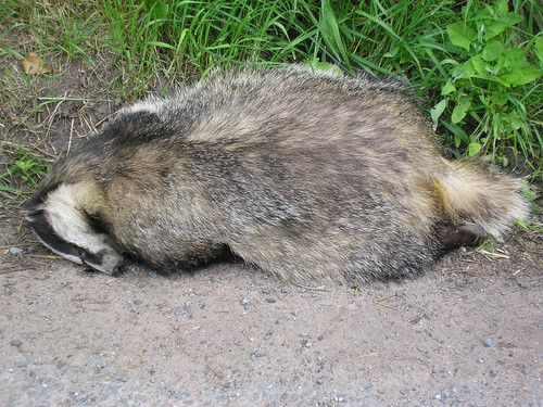
Any low points on the walk? Sadly yes! We came across a badger at the side of the road who appeared to have been hit by passing traffic.
Sadly not sleeping
If you want to do the same 5.9613 mile walk, the map can be viewed at http://www.gmap-pedometer.com/?r=2008044. By the way, K. T. Tunstall was excellent! All in all an excellent father's day.
Blogged with the Flock Browser

Sunday, June 08, 2008

Today the sun shone!

What a contrast, last week soaked, this week roasted; well not quite but the pint of Cheshire Cat at the Morris Dancers Pub was very welcome indeed!
Today we started at the village of Kelsall which, according to the guide, grew up where a gap in the Mid-Cheshire Ridge encouraged an early trading route to develop. For example carrying salt from the Cheshire salt field to Chester (Deva) in Roman times.
Apparently in medieval times, the development of the village was constrained by the surrounding Royal Forest of 'Mara et Mondrum', parts of which still survive today as Delamere Forest (where we are going to see K.T. Tunstall next Sunday; lets hope the weather is as good!)
The walk itself was varied climbing some 83 metres and walking along part of the Sandstone Trail that Chris and I did four years ago, before I started working for the RSC-Northwest (Based then in Blackpool).
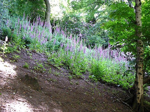
Wild flowers were everywhere especially foxgloves...
Image of foxgloves in woodland
...within the woods and on the shady side of all hedgerows;
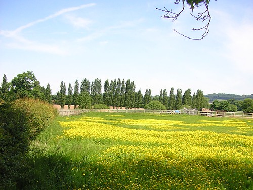
...and buttercups...
Image of buttercups in meadows
sprinkled (or should that be splashed) across meadows.
Dog Roses, elderflowers and many more were brightening our walk in the sunshine.
Shade was a bonus as, I'm sure you are now well aware, it was hot.
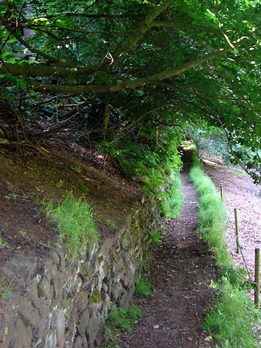
One particular stretch of shade was just after passing the earthworks of Kelsborrow Castle (The remains of an Iron-age hill-fort); known locally as Little Switzerland we decended into a valley before climbing again to join the Sandstone Trail.
Image of path through Little Switzerland
An ice-lolly was enjoyed at Summertrees Teahouse which was consumed as we walked along the Sandstone Trail; passed I may add by a number of horses. Nearing the end of the walk, we walked through several fields of fruit trees, which, for this part of the UK, is unusual.
We were both ready for a drink by the time we had completed the 7.0275miles; you can find the map at http://www.gmap-pedometer.com/?r=1970422.
Very enjoyable walk with fine views of the Dee Valley to the Welsh Hills.
Blogged with the Flock Browser