Sunday, April 28, 2013

Arley Hall Circular Walk

The URL for this route is http://www.gmap-pedometer.com/?r=5908360.
Today's 5.5035 mile walk
We started early today, from the Free Walkers' carpark in Arley Road (in the village not at the Hall). Arley village is a nice little village with houses, I assume, built for the Estate workers and their families.
Arley Village
From the carpark we headed towards Arley Hall but took the first byway on the right, along a track.
The red top appears again!
Crossing a "Bridle Bridge"...
Lever that can be used when on horseback.
...we headed up to Hollie's Farm where we turned left along Hollins Lane.
The next part of the walk caused, I think it is fair to say, panic for my better half
A field full of skittish,  inquisitive, head-butting, loopy heifers decided to hassle us. Keeping calm and standing ground where appropriate, we made our way out onto Knutsford Road.
The panic, apparently warmed Chris to such an extent that gloves came off and coat was opened.
Turning first left, we walked along Quebec Road to the T-Junction at the end.
Looking back down Quebec Road
The footpath continued straight on from Quebec Road.
Our path brought us out onto the road in the Village of Great Budworth.
Great Budworth
It was here that we made two errors...
We were too early Grrrr!

  1. We missed the footpath sign in front of the church; yes it was there but, we were looking at the George & Dragon Pub. Thinking that, if only we hadn't set off so early, we could have had a drink; and
  2. Having corrected our direction, the sign for the North Cheshire Way was missing.

Retraced our steps to get back on track!
We ended up walking up to the road and then, returning to where we should have turned left. As you can see, it was a beautiful avenue of trees and spring flowers.
At the next junction we went straight on up Heath Road.
Annoying effect of starting early, we missed out on the Ice Cream Farm and cafe.
North Cheshire Way signs
Following the signs, we made our way to Knutsford Road. Crossing straight over, we continued along a concrete road to eventually cross Arley Brook.
No, not this one.
I'm pleased to say the original bridge has been replaced by a metal one!
About 1km on, we reached a junction with the tarmacked driveway to Arley Hall.
To complete the loop all we needed to do was take the first left to return to the carpark.
Seat in Arley Hall Gardens
We decided to visit Arley Hall and gardens. If you haven't been, they are well worth a visit. The gardens have recently been voted in the Top 50 in Europe and in Britain's Top 10.
More information available at http://www.arleyhallandgardens.com/.

Sunday, April 21, 2013

Avoided the rain. Appley Bridge

Today's walk wasn't expected to take place. Why? Well
the weather forecast last night suggested rain from 9:00am. At that time the sun was shining.
Planning was down to Chris today, it was her turn. Let's just say I ended up looking at the OS map and picking what looked an interesting route.
The URL for today's 4.2334 mile route can be found at http://www.gmap-pedometer.com/?r=5898448.
Start & End at Appley Bridge
This walk could be started at Appley Bridge Station, for those without a car.
As you would expect in April we saw a wide range of spring flowers including...
Butterbur (Petasites hybridus)
Lesser celandine
Forget-me-not (Myosotis arvensis)
Wood Anemone (Anemone nemorosa)
Garlic (Allium sativum)
We walked through a number of woods and/or along their edges. Most included the sound of running water.
Walking up towards Cassicar Wood
Apart from the usual small song birds we saw a large number of Pheasants, Mallard ducks out on the fields, a Jay, a Buzzard and a Kestrel.
We also herded this goose along the path until there was room for her to "goose-under" a fence. (I was going to say duck-under but it seemed wrong)
Her friend was telling us off, very loudly,the whole time.
These were not the only domesticated animals on the walk. Pooh's friend Eeyore had an itch that he was grateful I was able to scratch.
We crossed the River Douglas, the Leads Liverpool Canal and the Southport-Wigan Rail line twice.
River Douglas

Looking towards Parbold
Very glad that, although we had a number of ups and downs, we didn't have to climb Parbold Hill.
Church on Parbold Hill.
What is the last thing you want at the end of a walk?
Fairy Glen
Yes! Steps up out of Fairy Glen.
All in all a very enjoyable walk and the rain started at noon (3hrs later than predicted)

Sunday, April 14, 2013

Siding Lane (Kenyon's Wood), 5.8353 miles, Loop walk via Rainford Junction


Access to the carpark is down Siding Lane, off A570 (Junction 3 on M58). The map for this walk is available at...
http://www.gmap-pedometer.com/?r=5888699 
5.83553 mile walk.
Starting in the Nature Reserve Car Park, on a much warmer but cloudy day (14th April 2013), we set off along a path we have walked a number of times, up into Kenyon's Wood.
All about the Nature Reserve
Walking parallel to the railway line we arrived at the Rainford Nos 1 & 2 Shafts (see detail below)
Rainford Colliery
I find it difficult to imagine how different this area must have been when it was a working mine.  
Descending and passing the large pond, we leave Kenyon's Wood passing an area of scrubland on our right. There's an Informative sign about the Grassland Management, of this area, and how it provides an ideal habitat for...

  • Birds: Meadow Pipit,Skylark, Lapwing (Green Plover) and Partridge.
  • Small Mammals: Bank and Field Vole,Shrew and Pygmy Shrew.
  • Butterflys: Meadow Brown, Orange Tip, Common Blue and, my favourite, Speckled Wood.
Next, we walk through a narrow strip of woodland, emerging on a clear path across farmland to Ben Lane.
Leaving  Rainford Colliery
The addition of a letter "T" is probably local humour - it doesn't take into account that it is quite straight. Our company consisted of 
Skylarks, and Lapwings (Green Plovers), for most of the walk.
We walk along the edge of Barker's Bridge Wood, having climbed a style at the wood's corner,and cross the A570 and up Coal Pit Lane.
There seems to be a great awareness of "working with nature" in this area of the North West. A sign on a barn highlights this...
http://www.leafuk.org/leaf/home.eb
LEAF's Website is well worth a visit,in particular for learners on Land-based courses.
When sheltered from he wind and light rain, it is really a nice day. Now, while I'm writing this, the sun is out and no longer raining.
The little warmth we have had, over this week, has changed the farmland. Crops are emerging and,along with the emerging leaves in hedgerows, everywhere is so much greener.
Emerging crops.
By now,we were walking into both wind and rain and were pleased every time hedges, woodlands, etc., provided shelter; in particular from the wind.
 
Having crossed the railway line, via a bridge, we continued parallel to the line to Rainford Junction Station.
Through the car park, we entered Rainford Linear Park

A small well kept park to the left of the allotments. Then turning right onto Junction Road (an Old disused line) we recrossed the railway line; care needed as the line is a main Wigan-Liverpool line.
Ignore, if it hasn't been turned back, the footpath sign that send you along the road. Instead turn left, parallel to the railway line, along the edge of Rainford North End Recreational Club's ground. Through another wood and,when emerging onto a path near another railway bridge, turn right then, first left along Red Delph Lane.
Crossing the A570 again,we returned to the car along Siding Lane.
...and then off for lunch at Hartleys Nurseries http://www.hartleysnurseries.co.uk/ 

Sunday, April 07, 2013

Brockholes Nature Reserve, Preston

After many years of preparation Brockholes opened its doors on Easter Sunday 2011; five years earlier,Chris and I had walked through here,on the Lancashire Trail. Take my word for it, it's changed a lot.
Floating Village & Visitor Centre
Our walk can be viewed at http://www.gmap-pedometer.com/?r=5879254 4.1829 miles
If you have not visited, the Nature Reserve is at Junction 31 on the M6, where it crosses the River Ribble and the A59. You should also be aware that there are car parking charges that vary depending on how long you stay.
Brockholes was a disused sand and gravel quarry. Our circular walk leaves the Reserve and returns, crossing the M6 twice.
Over M6
Under
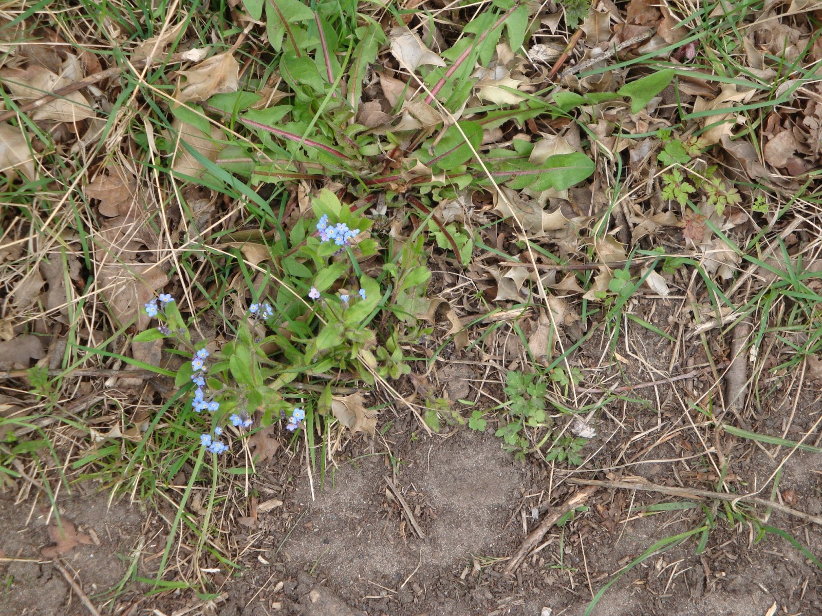
Woodland flowers brightened our walk including Celandine and Wood Anemones.
Celandine (top) & Wood Anemone (bottom)
The route was, in general easy underfoot, although the climb from the River Ribble, up to the top of the Ridge was quite steep. 
Top of climb from River Ribble
The field at the top had lots of fenced off areas, with access via "kissing gates". A shallow 'scrape' lacked water and signs of frog/toad activity. However there were signs, in the mud, of the presence of deer.
Deer prints in mud
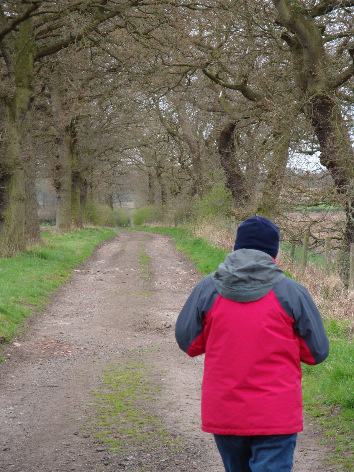
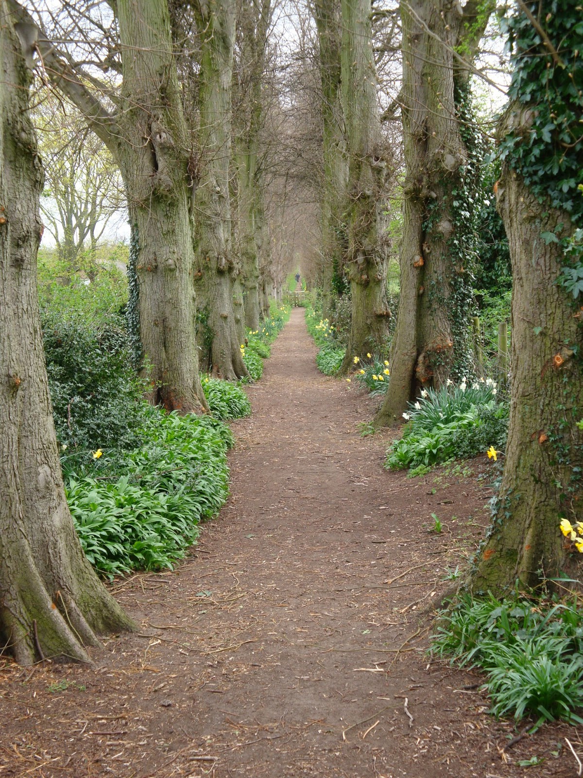
Crossing the M6 we walked around the edge of a housing estate before re-entering woodland. As you would expect on a circular walk, what goes up must come down.
Decent through Brockholes Wood
The decent was aided, in places, by steps and, as woodlands go, provided good views across the Ribble valley including Nature Reserve, working quarry and M6; the woodland itself was showing signs of our late Spring.
Pollen
The only sad site on our walk was, I guess, a casualty from the M6 above us...
Poor Gull (M6 casualty perhaps)
Returning along the River Ribble, we returned to the floating village for a well earned snack.
Samlesbury Church


Wednesday, April 03, 2013

Billinge - Carr Mill Dam - Billinge

A cold bright sunny morning, ideal for a walk before returning to work after the Easter break.
We've walked around Carr Mill Dam on a number of occasions, the first being at the start of the Lancashire Trail (http://maghullmeanders.blogspot.co.uk/2006/08/lancashire-trail.html) way back on the 13th August 2006.
Today I decided we would start in Billinge rather than any of our past starting points of St Helens, Carr Mill Dam, or the Sankey Valley Park at Newton-Le-Willows.
It was hoped that we would see the usual Grebes on Carr Mill Dam.
On the way to the Dam we saw a heron in flight, ready, I'm sure, to feast upon Frogs and Toads as the head to water to mate.
There were lots of ducks, geese, moorhens, coots, and swans
Nesting Swan
at the start of our walk around the Dam. However we didn't see any grebes until we got to the "top end" near the A580.
Grebe & Gull
We also saw Cormorants...
Cormorant
and, on the far bank, another heron.
Heron number 2
Carr Mill Dam has a lot of fish eaters but...
An ex-resident
the number of people fishing, and the image above, suggests there is plenty for all. I hazard a guess it is also re-stocked periodically.
There were a number of signs that Spring has arrived, in spite of the temperature. e.g. 
Coltsfoot
New green leaves
Blossom
Spring flowers, new leaves and blossom.
Robins, chaffinch, long-tailed tits, blue tits, a thrush, blackbirds, sparrows and more flitted around us.
Both Chris and I remembered the weather vane on the round tower, from our Lancashire Trail walk, but couldn't remember what it was until we passed it for a second time in seven years...
Weather Vane
Otter Swift Farm was the clue!
Passing Eric - we returned to the car completing our 4.3293 mile walk.
We even have a whiskey named after you! What Eric!
You can see the walk at...
Walking again soon...