Showing posts with label Sefton Coastal Path. Show all posts

Wednesday, May 13, 2015

Walk & Wednesday Pub Lunch #17 The Grapes, Thornton

We were off to Thornton for a second time and, as this was the case, I looked for an alternative route.
Our planned 5.5564 miles (8.9422 km) walk has been saved and can be seen at... 
Today we used public transport, more than once.
Initially using the bus...

... to get to Maghull Station, then the train...
...found a metro to read on our journey
...to get to Hightown Station where our walk started.
We headed off along Lower Alt Road and turned left at the end, parallel to the River Alt...
We were now on the Sefton Coastal Path, which is marked with posts, many with white tops.
The Red Flag...
...wasn't really needed; the sound of gun fire, from Altcar Training Camp, could be heard throughout our walk.
As you can see, the paths were very clear...
 After a relatively short walk, we emerged at the sailing club where a sign...
 ...provides information about Prehistoric Altmouth.
As it was low tide, we followed the sign...
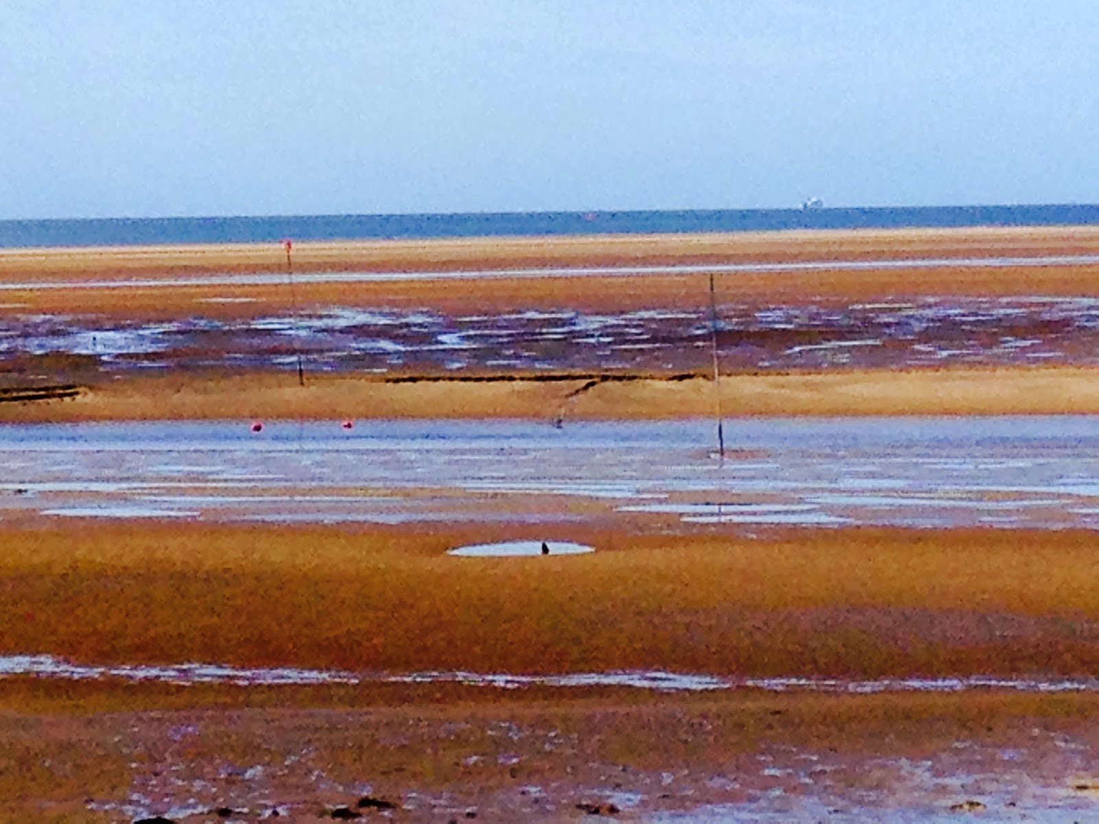
 ...to view the remains of the submerged forest.
We then continued along the Sefton Coastal Path enjoying the views, birds, flowers etc...
Launch pier at sailing club...


 Including "Argentina anserina", also known as common silverweed, silverweed cinquefoil or just "silverweed", is a flowering perennial plant in the rose family Rosaceae...
 When we reached the H M Coastguard Station we turned left along Hall Road West.
There were lots of signs pre-warning everyone that parking will be limited when the 3 Queens visit (25th May 2015)...
The Three Cunard Queens...

  • Queen Mary 2
  • Queen Elizabeth and 
  • Queen Victoria 
...will meet in the River Mersey for the first time in an event that will make maritime history. 
(Find out more at http://www.visitliverpool.com/whats-on/cunard-lines-three-queens-meeting-p353341)
 
 We continued past Hall Road Station where Hall Road West becomes Hall Road East.
At the sharp corner, we continued straight ahead, along a footpath (Dibb Lane) to Little Crosby
Here we turned right, along Little Crosby Road, past the memorial...
 ...and. at the Gate House, followed the path, with the wall on our left, to Virgins Lane where we turned right.
Again, as we've found during May, there was lots of bird song...
 ...ladybirds...
 ...and blossom...

At the end of the lane, at the traffic lights, we turned left, checked the bus timetable and then, at the next set of lights turned right again into Green Lane.
After a short distance, we reached our destination...


What was the Pub Lunch like?

Take a look at... 
After lunch it was back to the bus stop to catch a bus back to Maghull Square.
So that's the 17th walk done for our 
Walk and a Wednesday Pub Lunch
and very enjoyable it was too!

Monday, March 16, 2015

Ainsdale Loop via Fisherman's Path

Our Sunday Meander started, and ended, in the car park off Shore Road, Ainsdale.
The 6.2456 miles (10.0513 km) route has been saved  and is available at... 

Another relatively clear path, the first part involving walking a short distance around the lake, taking the first path to the left and then heading for the beach (through the dunes).
We took a slight detour to walk around the scrape where Natterjack toads breed. 

No signs yet; a bit early I feel.
Once on the beach...


...we turned left, towards Formby.
After walking for 2¾ miles there is a clear sign...

...showing the start of the Fisherman's Path. Here we turned left...
View from top of dunes; fisherman's path straight on, heading slightly to the left
At the bottom of the dunes there is a notice board which tends to have some interesting information ...

Note the NatterJack Toad Walks!
...and a bit further on a large map. 
We chose to follow the "Old Fisherman's Path" that's clearly marked...

...and provides a more interesting route.
We rejoined the main route and follow the path until just before it crosses Formby Golf Course.
Turning left, we skirt the Golf Course and eventually end up walking parallel to the Merseyrail line between Liverpool and Southport. 

We were lucky to see...
Gorse in flower
...as well as a range of other plants.
Eventually the Mersey Way comes into view and we head towards the railway line, under the road bridge and take the first path to the left.
This path, like the others is marked with posts, with white tops. It is in fact part of the Sefton Coastal Path.
I think this part of the walk provides a wider range of things to observe; for us, this time, it was violets...
 ...gorse...
...boardwalks over slightly marshy areas...
...flowering currant...
...and Auricularia auricula-judae, known as the Jew's ear, wood ear, jelly ear or by a number of other common names; it's a species of edible Auriculariales fungus. 
"The fruiting body is distinguished by its noticeably ear-like shape and brown colouration; it grows upon wood, especially elder. Its specific epithet is derived from the belief that Judas Iscariot hanged himself from an elder tree; the common name "Judas's ear" eventually became "Jew's ear", while today "jelly ear" and other names are sometimes used."
Eventually we reached Shore Road where we turn left and return to the car park.
In spite of the weather forecast, we were lucky; there was a cool breeze but we had sunshine for most of our enjoyable meander.
P.S. Below I've experimented with adding Street View to this blog, just to see if it works...


It works!

Sunday, October 06, 2013

Sefton’s Natural Coast

Chris and I have walked the Sefton Coastal path and revisited many sections we like. 

Today it was about walking in the sun along the beach and back through the unique dunes and forest environment.

6.3084 miles in total, you can view the route taken at... 

For those of you who haven't walked the coastal path it starts from the northern outskirts of Liverpool and passes through dunes, marshes and the towns of Southport and Crosby. It also passes the Ainsdale Nature and Formby National Trust Reserves.

Sefton’s Natural Coast, as it is now known, is the largest undeveloped dune system in England, extending from Southport and the Ribble Estuary to Seaforth at the mouth of the River Mersey.

Today we started and ended at Formby National Trust Reserve
Making our way from the car park, just past where non-members pay their £5 to park, we headed through pine woodlands towards the beach.

At one of the turns Chris played the wooden chimes...

we both completed a "balance path", looked at a woodpecker carving...

and peered through a "mounted magnifying glass" at some bracken fronds.

Arriving at the beach, after climbing over the dunes...

...we were drawn to the shore.


For once we didn't have our "Who can find the longest razor shell?" competition but, in places, you couldn't avoid them. There must be another use for them.

After 3 miles we cut up through the dunes and on to a number of different coloured path routes; from memory we walked part of the red, blue, black, white, purple, and the Coastal path routes.Through coastal marshes, pine woodlands, heathery heathland and in, out and over dunes.


All in all a thoroughly enjoyable walk in the sunshine. Even if you don't replicate the walk, it's an area you should visit if you are in the area.

Oh, by the way, I forgot to mention, on a clear day, there views across the Irish Sea to North Wales, Snowdonia and the Lake District; along with wind farms, gas rigs and more.

Sunday, June 22, 2008

High Winds and abrasive sand

On reflection our blog is turning into a collection of weather reports rather than a blog about our walks. However the forecast wasn't good and equiped with waterproofs we set off to Ainsdale where this weeks walk began.
For once the start wasn't even near a pub! We had decided to walk part of the Sefton Coastal Path going from Ainsdale towards Formby and the 'Fisherman's Path'. I decided, in view of the high winds, to walk back along the beach with the wind behind us. Oh how pleased we both were.
The start of the walk took us alonside the Liverpool-Southport Merseyrail line before cutting through the Merseyside Forest (Red Squirrel country; sadly we didn't see any. In fact we saw very little in the way of wildlife). The woodland protected us from the worst of the wind but the thuds of pine-cones hitting the ground made us think that hard-hats would have been a good idea.
Once on the beach the full force of the wind was felt. As already stated, we were so pleased the wind was at our backs. As can be seen, the moving sand looked almost like smoke hugging the ground.
Sandstorm
Thank goodness for long trousers!
Dressed for high winds
Large container vessels struggled out of the Port of Liverpool, through the white horses, into Liverpool Bay and the Irish Sea; and yet on the beach little shells and other objects protected sand from erosion.
White Horses and Liverpool Bay
We made good time with the wind hastening our progress; both of us surprised that we had walked 7.2856 miles. If you want to walk in our footsteps the map of our route can be found at http://www.gmap-pedometer.com/?r=2010693;
PS Check which way the wind is blowing before you decide which way round you complete the walk!
Blogged with the Flock Browser