The name Walton comes from the Saxon words 'weald' and 'tun', meaning, as the heading of this post states, 'Walled Settlement'.
As with the other '7 Liverpool Hills', (this is number 7) anyone can download the maps and/or the Points of Interest Guide at http://www.bikeright.co.uk/merseyside/7hills/
I have to be honest, this is the least inspiring of the 4 Hills we've visited so far.Don't get me wrong, the 'Points of Interest' provided lots of very interesting information which you can read at the 'check-points on the map.
I digress.
As you can see from the map (link provided above)...

...we started our Meander from Kirkdale Merseyrail Station...

...and headed off to the start of the walk at the top of Spellow Lane in front of the gates of...
'The Peoples Club'Liverpool's first, official Football Club...

Everton FC also known by the nickname ‘The Toffees’, because of Molly Bushell’s famous Everton toffee (See Walk #1 posted on 7th July 2016)

...complete with the statue of William Ralph "Dixie" Dean (22 January 1907 – 1 March 1980) (Find out more at https://en.wikipedia.org/wiki/Dixie_Dean)
Across the road, along with the an entrance to Stanley Park and the Everton FC Shop, is Salop Chapel...

...a Free Presbyterian Church of Ulster. (Find out more at http://www.freepresbyterian.org/church/liverpool/)
As we walked along County Road, you couldn't fail to miss this mural...

...of a woman with multicoloured hair on what was an Ethel Austin building. It was created by street artist Whoam Irony (see more of her work at http://whoamirony.tumblr.com/) and commissioned by the Liverpool Street Artist Festival as part of a project to rejuvenate the area.
Looking down the streets to our right we could see Goodison Park...

...and, when we read 'Point of interest #3', it provided an explanation of the street names, as we walked along County Road.
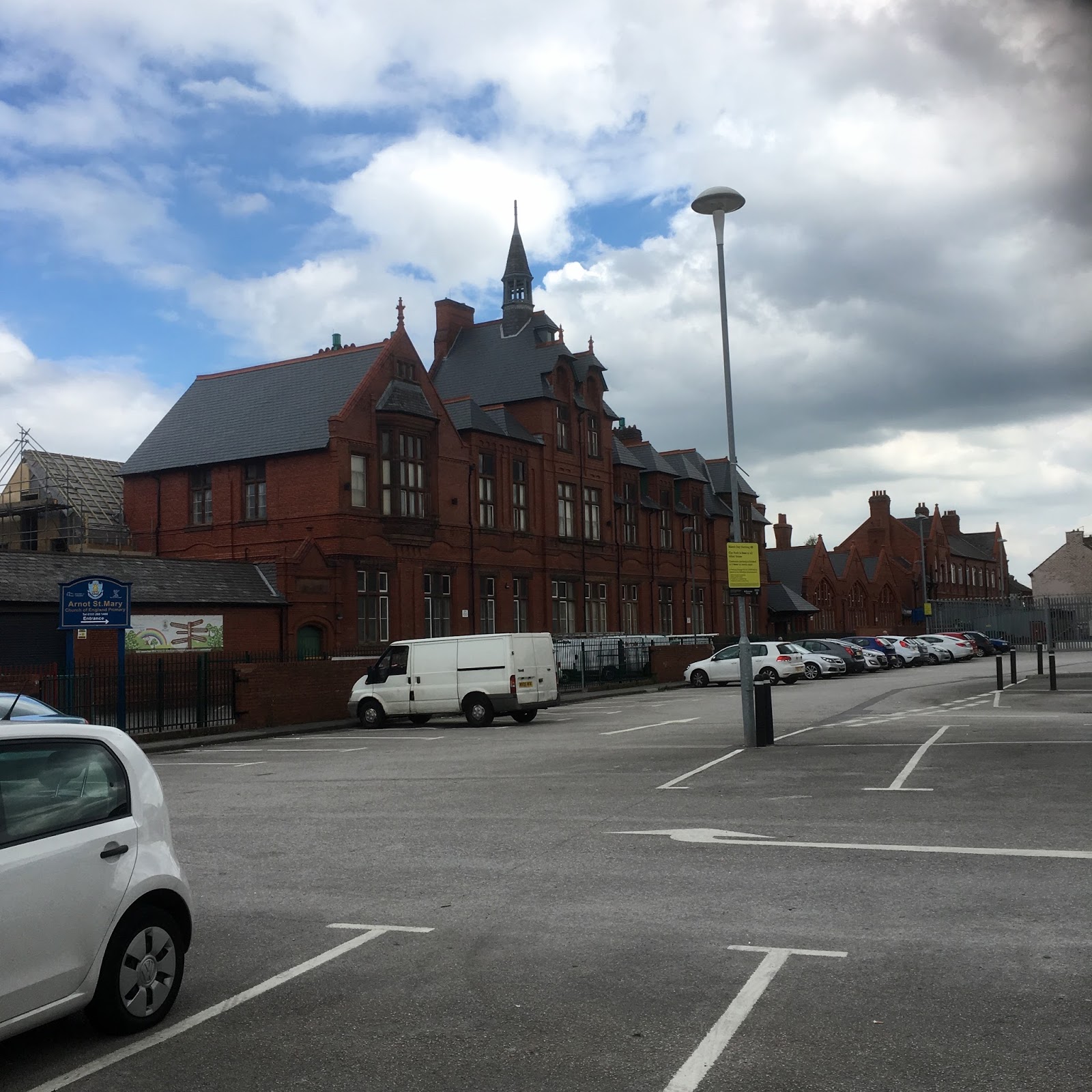
The next impressive building was Arnot St Mary CofE Primary School...

A friend of ours worked here during the 1980s...
On the opposite side of the road is 'The Glebe Hotel'...

...built in 1882 and a Grade II listed building; renamed Bernie May’s Bar and Bistro.
It was named The Glebe Hotel because it was built on land belonging to the church - known as glebe.
There's also a local legend that a tunnel runs from the The Glebe Hotel to St Mary’s Church.We continued along County Road to view The Tudor School House (1515)...


...now a day nursery, creche facility, and meeting hall...

It's one of only two surviving original Tudor schoolhouses in Liverpool.
We've already seen the other one on our Woolton Ridge and Camp Hill Meander.
Next, another dissapointment!
We were unable to enter the grounds of St Mary’s Church!


However the points of interest provided an engaging overview of its history.
Inside St Mary’s Church is an ancient Saxon Cross and this is the replica we could see from the path...
Heading back along the path, we circumnavigated St Mary’s Church as we read about...
- a Pagan Stone Circle,
- Domesday Book reference,
- Ancient Monks,
- the Burial Ground and
- the Plague Pit.


Still no access.
We also noticed, over the road the...
WALTON-ON-THE-HILL
TOWN HALL A.D. 1893
...plague and Coat of Arms...
We could have caught the 310 bus home from here but chose to meander back via Walton Village, Heathcote Road, Church Road West and City Road.
Some lovely buildings and interesting history of the area.You can view the slideshow, of today's photographs, below...
Looking forward to the next 3 Hills!


