Sunday, April 07, 2013

Brockholes Nature Reserve, Preston

After many years of preparation Brockholes opened its doors on Easter Sunday 2011; five years earlier,Chris and I had walked through here,on the Lancashire Trail. Take my word for it, it's changed a lot.
Floating Village & Visitor Centre
Our walk can be viewed at http://www.gmap-pedometer.com/?r=5879254 4.1829 miles
If you have not visited, the Nature Reserve is at Junction 31 on the M6, where it crosses the River Ribble and the A59. You should also be aware that there are car parking charges that vary depending on how long you stay.
Brockholes was a disused sand and gravel quarry. Our circular walk leaves the Reserve and returns, crossing the M6 twice.
Over M6
Under
Woodland flowers brightened our walk including Celandine and Wood Anemones.
Celandine (top) & Wood Anemone (bottom)
The route was, in general easy underfoot, although the climb from the River Ribble, up to the top of the Ridge was quite steep. 
Top of climb from River Ribble
The field at the top had lots of fenced off areas, with access via "kissing gates". A shallow 'scrape' lacked water and signs of frog/toad activity. However there were signs, in the mud, of the presence of deer.
Deer prints in mud
Crossing the M6 we walked around the edge of a housing estate before re-entering woodland. As you would expect on a circular walk, what goes up must come down.
Decent through Brockholes Wood
The decent was aided, in places, by steps and, as woodlands go, provided good views across the Ribble valley including Nature Reserve, working quarry and M6; the woodland itself was showing signs of our late Spring.
Pollen
The only sad site on our walk was, I guess, a casualty from the M6 above us...
Poor Gull (M6 casualty perhaps)
Returning along the River Ribble, we returned to the floating village for a well earned snack.
Samlesbury Church


Wednesday, April 03, 2013

Billinge - Carr Mill Dam - Billinge

A cold bright sunny morning, ideal for a walk before returning to work after the Easter break.
We've walked around Carr Mill Dam on a number of occasions, the first being at the start of the Lancashire Trail (http://maghullmeanders.blogspot.co.uk/2006/08/lancashire-trail.html) way back on the 13th August 2006.
Today I decided we would start in Billinge rather than any of our past starting points of St Helens, Carr Mill Dam, or the Sankey Valley Park at Newton-Le-Willows.
It was hoped that we would see the usual Grebes on Carr Mill Dam.
On the way to the Dam we saw a heron in flight, ready, I'm sure, to feast upon Frogs and Toads as the head to water to mate.
There were lots of ducks, geese, moorhens, coots, and swans
Nesting Swan
at the start of our walk around the Dam. However we didn't see any grebes until we got to the "top end" near the A580.
Grebe & Gull
We also saw Cormorants...
Cormorant
and, on the far bank, another heron.
Heron number 2
Carr Mill Dam has a lot of fish eaters but...
An ex-resident
the number of people fishing, and the image above, suggests there is plenty for all. I hazard a guess it is also re-stocked periodically.
There were a number of signs that Spring has arrived, in spite of the temperature. e.g. 
Coltsfoot
New green leaves
Blossom
Spring flowers, new leaves and blossom.
Robins, chaffinch, long-tailed tits, blue tits, a thrush, blackbirds, sparrows and more flitted around us.
Both Chris and I remembered the weather vane on the round tower, from our Lancashire Trail walk, but couldn't remember what it was until we passed it for a second time in seven years...
Weather Vane
Otter Swift Farm was the clue!
Passing Eric - we returned to the car completing our 4.3293 mile walk.
We even have a whiskey named after you! What Eric!
You can see the walk at...
Walking again soon...


Friday, March 29, 2013

Arrochar Dunbartonshire


Our latest walk was in Scotland 0n 28th March 2013 - A round trip from Forest Holidays, Argyll Cabins.
You can see the walk at http://www.gmap-pedometer.com?r=5867719.
A cold week but sun shining when Chris and I set off on the walk. From the Cabin we made our way past the "Retreat" ...

with its Otter carvings...

through ancient woodland up to the Information Centre. Here we made the decision to walk the "Yellow Route". 

As you can see there were some more wood carvings - Buzzard and Otters.
Apparently there was a gentle climb - Scottish humour me thinks - up into the forest.
It did level out

As you can see, it was cold

The colours and variety of mosses impressive

One of two sad deaths on the footpath
And the shrew the second
The reflections of buildings on the far side of the loch (Loch Long) were impressive.
Reflections in the Loch
As we decended to the "Old Military Road" we saw more carvings on both sides of the road.
Fox
Not sure who this person is/was!
The loop was completed by walking loch side back to the cabins.

Time to put our feet up!

Sunday, March 24, 2013

Sunday's short walk


Todays walk,from Aintree to Walton,included the Liverpool Loopline

It was only 3.9881 miles, which was shorter than our usual Sunday walk. 
To be fair,the Hare has to go further...
 than the tortoise...


 As you can see, it wasn't very warm...

The ponds,in Walton Hall Park, had a healthy bird population; moorhens, coots, mallards, geese and cormorants, to name just a few...


You can view the walk at...
http://www.gmap-pedometer.com/?r=5862147.


Sunday, March 17, 2013

Pex Hill Observatory, Cronton

We started from Cronton today. A former mining village lying between the M62 to the north and Widnes to the south and the walk makes the most of this rural gap. 
Pex Hill is only 67m (220') high but has a most extensive view to the west.
Today our route, the URL for this route is http://www.gmap-pedometer.com/?r=5854051, took us 5.7675 miles.
Older maps show a Visitor Centre on Pex Hill, but the building now houses an observatory and a centre for countryside workers.
The start of the walk is up a lane directly opposite Widnes Sixth form College on the A5080. The lane is easily recognized by its green pillars and railings and is on the left if you come from the M62 junction 6.
A metal viewfinder near the start of the walk has the skyline engraved showing Liverpool's two cathedrals, Snowdon, Tryfan and a number of summits in the Carneddau
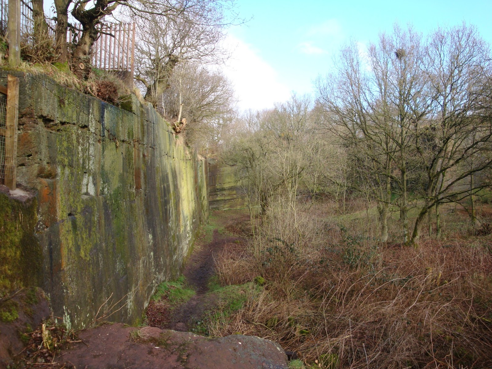
Our first detour was to access the quarry and look at the sheer sandstone walls.

As you can see, the colours and size of the vertical walls were impressive. 
At the road junction, with Holy Family Church ahead, there is an old petrol pump on the immediate right. A museum artifact if ever there was one. We passed the remains of an ancient cross at  just after we passed the 18th century Cronton Hall on our right.
We made another detour to look at a small park; one to take Jack & Emily. Some nice carvings - sadly damaged in somecases. Can you see the mole?
 

In lodge lane we encountered some chickens sheltering under a hedge. Reminded me of Broad Green and the many happy years of my childhood.

Walking down lanes and along footpaths over fields, we observed Magpies ("8 for?" the one Chris couldn't remember), Partridges, 4 Buzzards, Robins, Long-tailed Tits and more. 
Just off Chapel Lane, as we headed for Sandy Lane we passed a barn with sheep ready to lamb. 
The second loop, of the walk, started just before we got back to the car park. It took us to the M62 and past a now unused sewage farm, and up past a reservoir before completing the walk.

If you haven't done this walk, and you are in the area, it's well worth a visit!